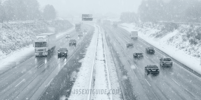
Governor Andrew M. Cuomo declared a state of emergency across all 62 counties in New York ahead of the extreme winter storm expected to bring heavy snowfall and high winds.
Snow is expected to cover Upstate New York, where 12 to 24 inches of snow is anticipated in the Western New York, Finger Lakes, and Central New York regions over a 48 hour period beginning Monday night. Areas south of Lake Ontario from Buffalo to Rochester will see periods of snowfall of 2 to 3 inches per hour during parts of the day Tuesday.
The heaviest snow accumulations are expected in the south and east of the Capital Region, the Mohawk Valley, and the Mid-Hudson Valley region where 20 to 24 inches of snow is expected from late Monday night through late Tuesday night and will taper off on Wednesday. Peak snowfall will fall on Tuesday during the daylight hours and in these areas, the bulk of the snowfall will from between 7 a.m. to 7 p.m. Tuesday. Travel will be extremely dangerous from high rates of blowing and drifting snow.
The storm has shifted to the west and will have substantial impacts on the New York City areas. Snow will move into the lower Mid-Hudson Valley, New York City and Long Island regions after midnight on Monday. Heavy snow will be begin early Monday evening and will fall at a rate of 2 to 3 inches per hour for the Tuesday morning rush hour. By the evening commute, there is strong potential for 16 to 20 inches of snow with whiteout conditions throughout the day. Snowfall rates may reach 2 to 4 inches per hour at intermittent periods throughout the day, which will be exacerbated by gusty winds of 40-50 miles per hour in New York City and Long Island. Highest snow totals will be in the northern parts of New York City, Orange and Putnam counties which will see 20 to 24 inches of snow during the duration of the storm. Long Island especially areas near Montauk, will see wind gusts up to 60 mph which could take down tree limbs and power lines. Driving will be especially hazardous on Tuesday for both the morning and evening commutes. Minor coastal flooding is also expected during high tide.
For more I-95 travel information, visit www.i95exitguide.com, the Internet’s largest and most complete website devoted to America’s Interstate Main Street. Detailed exit service listings… discount lodging, camping, food, gas and more for every exit from Maine to Florida!
Traveling another route? Visit our growing family of exit guides: I-4 Exit Guide, I-5 Exit Guide, I-10 Exit Guide and I-75 Exit Guide.


