North Carolina Department of Transportation (NCDOT) officials are asking people in coastal North Carolina to stay off the roads late Wednesday through the end of the week as heavy rain and wind from Hurricane Erin is expected to make travel treacherous.
Erin is not forecast to make landfall on the East Coast, but rain and winds from the western edge of the storm could flood and damage coastal bridges and roads, including N.C. 12, the main highway serving the Outer Banks.
NCDOT was reporting no road closures due to Erin as of Wednesday morning. N.C. 12 remained passable with some sand and water on the road in a few sections. However, the worst of Erin’s tropical storm force winds are forecast to reach the coast late Wednesday and Thursday.
“We have crews ready and are prepared for whatever Erin brings us,” said state Transportation Secretary Joey Hopkins. “But we are urging people along the coast to stay home until the storm passes and it’s safe to travel again. Much of the storm will remain out to sea, but even the outer bands of Erin could still pack quite a punch. People need to take this storm seriously.”
Most flood-related drownings in the U.S. occur when someone attempts to drive through floodwaters, according to the National Weather Service.
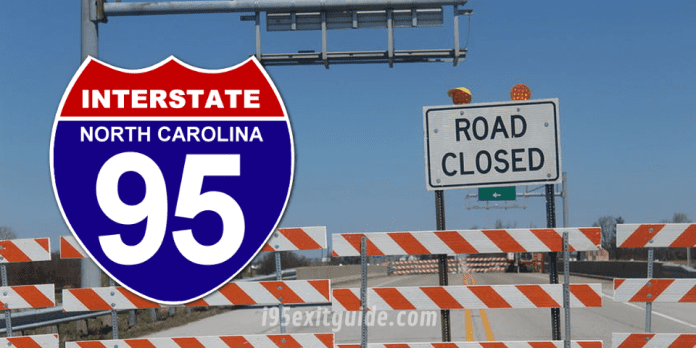
For that reason, Hopkins said people should never drive through flooded roads or try to drive around barricades or road-closure signs as those signs are there to protect the traveling public.
Before heading out, NCDOT officials urge people to check DriveNC.gov for real-time travel updates related to Erin. When there are roads impacted by the storm, visitors to the website will be able to toggle on “Hurricane Erin” to see those impacts.
NCDOT Prepared for Erin
The N.C. Department of Transportation’s Ferry Division suspended ferry service from Ocracoke Island across the Pamlico Sound after its 11 a.m. Wednesday departure to Swan Quarter. Ferry service from Ocracoke to Hatteras will continue as long as the weather holds.
The Ferry Division has been using its vessels to evacuate visitors and residents from Ocracoke Island since Sunday evening when Hyde County officials issued a mandatory evacuation for the barrier island. As of 7 a.m. Wednesday, the state’s three ferry routes serving Ocracoke Island have helped evacuate more than 2,263 people and 1,113 vehicles to the mainland.
On Monday, service was suspended until further notice on the Ocracoke Express passenger ferry, which runs between the village of Ocracoke and Hatteras Island.
As with every approaching tropical storm, NCDOT crews are readying equipment and staff as the agency prepares for possible impacts from Erin.
NCDOT highway crews spent the week using front-end loaders, bulldozers and other heavy equipment to shore up the dunes to protect N.C. 12 in several areas that have been vulnerable to storm overwash in the past.
In addition to N.C. 12, rain is expected to deluge secondary roads and could make travel in coastal areas inaccessible for several days.
NCDOT crews are ready to respond along the coast and inland as needed. NCDOT has fueled up and tested equipment and vehicles. The agency has hundreds of chainsaws, trucks, backhoes and front-end loaders ready. NCDOT also has road closure and high-water signs and barricades ready to deploy to trouble spots. Crews have staged high-water signs and barricades at locations along the coast prone to flooding during previous storms.
NCDOT crews are prepared to work in shifts around-the-clock to assess roads and bridges, erect signs, and work with utility crews to cut and shove downed trees and other debris to reopen roads as soon as possible.
What’s I-95 traffic like RIGHT NOW? Get Real-time traffic information for cities along Interstate 95. Maps show updates on I-95 road construction, traffic accidents, travel delays and the latest traffic speeds. I-95 traffic cameras show congestion at a glance. Visit I-95 Traffic.
The I-95 Exit Guide is the Internet’s largest and most complete website dedicated to Interstate 95 travelers. Find detailed exit service listings… lodging, camping, food, gas and more for every exit from Maine to Florida!
On the road? Why not take us with you. The I-95 Exit Guide is mobile-friendly and totally FREE. No App Required.
Traveling another route? Visit our growing family of exit guides: I-4 Exit Guide, I-5 Exit Guide, I-10 Exit Guide, I-75 Exit Guide, I-80 Exit Guide and I-95 Exit Guide. Detailed exit service listings… discount lodging, camping, food, gas and more for every exit along the way!


